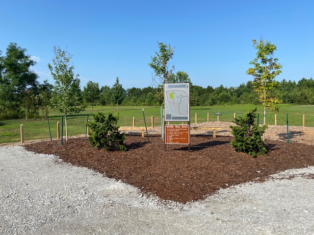
With the recent opening of the Oak Park trail head the Land Trust of North Alabama has released a new map but the two new trails aren't the only changes.
What's New?
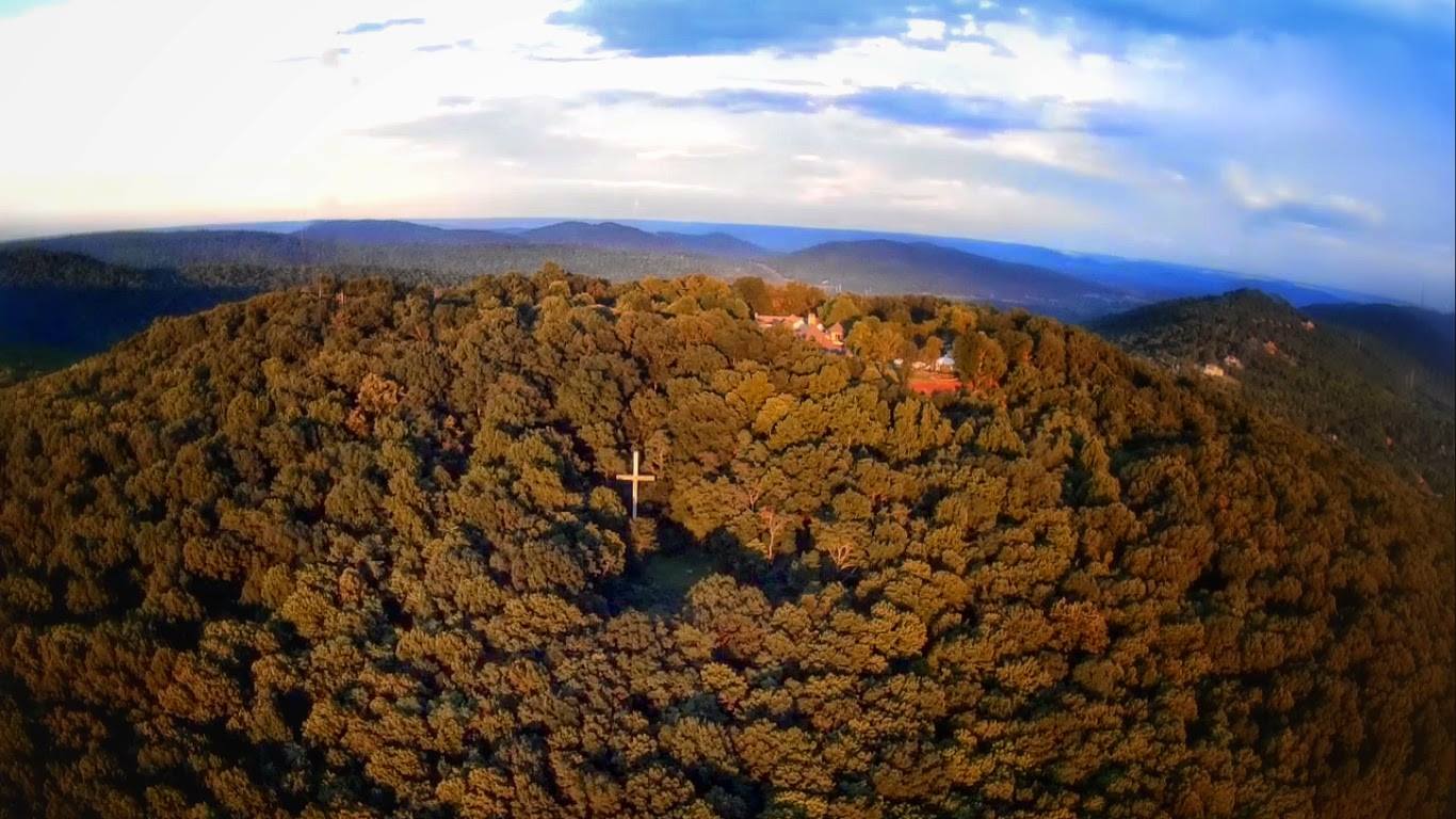
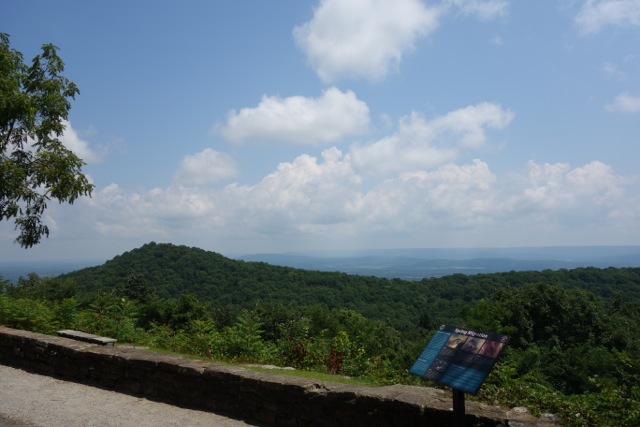
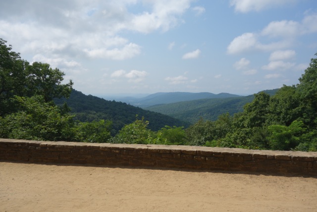
This is the second new trail map release that the Land Trust has done for their Monte Sano trails in the last 12 months. While not as extensive as their last map this one is no less important. Of course the big news is the addition of Oak Park and Buzzards Roost Trail at .90 and .36 miles respectively. But buried is the section of the Flat Rock Trail that has been renamed and rerouted.


"I'm really into this trail, Flat Rock. You've probably never heard of it. - Hipster Trail Runner
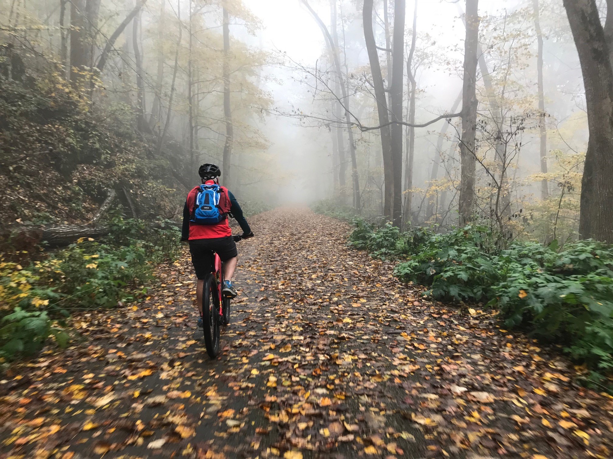
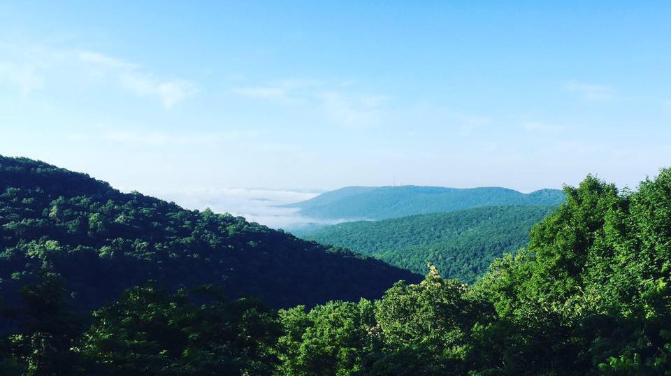
The Flat Rock trail is by far my favorite trail. It is the longest trail on the mountain, it is hard to get to, and under used which is why it holds a special place in my heart. With that being said I hold no ill will toward the new Bankhead Trail which is really just the last, or first, mile of the Flat Rock trail. The only part of this newly named section that is different is the last quarter mile that ascends back up to Bankhead Parkway.
There is no need to panic, the rest of the Flat Rock Trail is still there. Now when you are hiking or running the Bankhead Trail you can sound super hipster when you say, "I was into this trail back before it changed its name to Bankhead."
Get the Maps
If you want to get a full copy of the new map you can get it directly from the Land Trust's website. If you want to compare it to the last version Hunstville Outdoors has archived a copy here. If you want get real old school Hunstville Outdoors has archived old school copy here.