What if I told you that you could once hike from Ditto Landing all the way to Monte Sano is that something you’d be interested in?
I have seen Space Walk on Huntsville City’s map of future greenways and never thought much about it until I attended the Big Picture Greenways focus group meeting in the spring of 2015. It was there that a local trail running savant and avid hot wing enthusiast Cary Long brought it to the forefront. Citing Chattanooga as an inspiration Long pitched the vision of an Appalachian-esque Trial running between two of Huntsville best natural resources Monte Sano and the under appreciated Tennessee River. Since that meeting I have been using my Mathnet skills (Or depending on your age: Dragnet, Colombo, CSI, Dora the Explorer skills) to research and explore the Space Walk trail.
What follows here is the definitive Huntsville Space Walk trail article. Definitive only because no one else has written one or if they have it doesn't show up on the first 3 pages of a Google web search. There is a lot about this trail that I don't know so my hope is as this article flows through the internet tubes and those who do know will grace us with information to add to the collective mosaic.
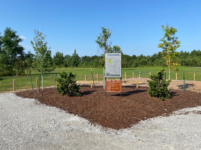
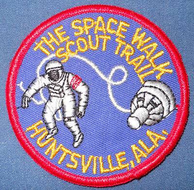
Before we get too deep into this here is a map that I have created of the entire unofficial Space Walk trail. I also utilized trail maps found on Briatech.com which I have linked through the article.
History
Space Walk was not one single trail but a route utilizing multiple trails of which many are still used today. According to South Huntsville Resident Marty Eaton the Spacewalk Scout trail was used by Boy Scouts to train for the Appalachian Trail. Local trail runner and advanced Google searcher, Eric Vanderslice, was able to find an image of the patch the Boy Scouts received upon completing the hike. Vanderslice also uncovered a Boys Life article at that referenced Space Walk as well. Many other websites have also referenced the trail indicating that it was originally built by the Boy Scout in the late 1960s.
Space Shuttle Trail Markers
When I first started asking around I was told about trail markers that could be found in and around Monte Sano that were shaped like Space Shuttles that marked the official trail. Having been told by fellow Fleet Feet Marathon Training Coach, Brian Carter, of the general location of a shuttle near a popular overlook I felt confident I could locate one during an oddly long two hour jury duty lunch break. So with sandwich in hand I headed to the mountain. I turned off of Governors Drive onto Monte Sano Blvd and it wasn't long before I saw something just before the entrance to Burritt on the Mountain. It was faded piece of vinyl material cut in the shape of a space shuttle nailed to a utility pole. Bazinga! So I made a quick u-turn, hopped out and took a picture of it before heading to the North Plateau Loop overlook
Close to the overlook parking lot I was able find two more shuttles. One was south of the overlook near the cabins and another near the Civilian Conservation Corps Museum. I was pumped at how fruitful this research mission was. But my elation was short lived after a friend pointed out to me that NASA's Space Shuttle program formally started in 1972 well after the creation of the Space Walk Trail.
I continued to ask around and talked to local trail runner who speculated that they were actually the old race makers for the Mountain Mist 50K race. As I started looking for and finding more of the space shuttles on subsequent runs they seemed to always be on or near the Mountain Mist course. Adding to the plausibility of the Mountain Mist theory was an old pamphlet provided to me by Marie Bostick, current director of the North Alabama Land trust, that shows that the Spacewalk trail ending on the North Plateau Loop at the Monte Sano lodge way before reaching the two shuttles on the same trail near the overlook.
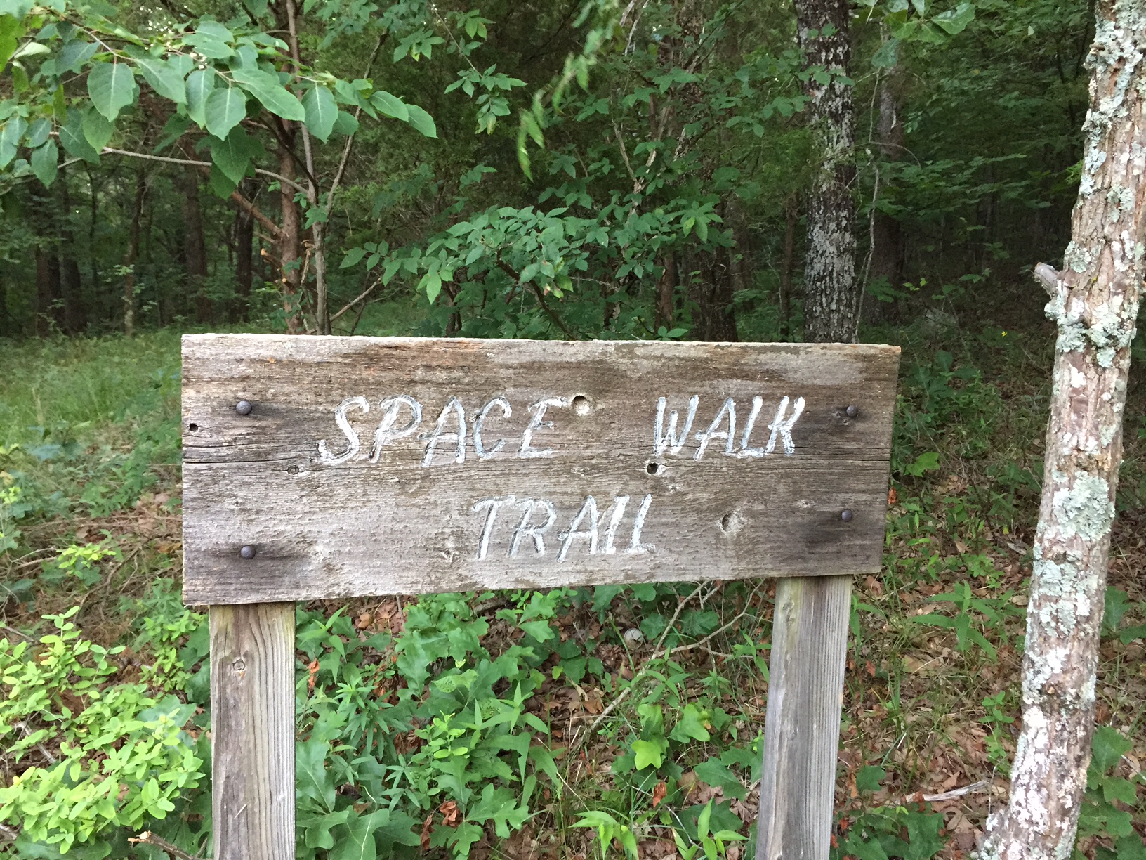
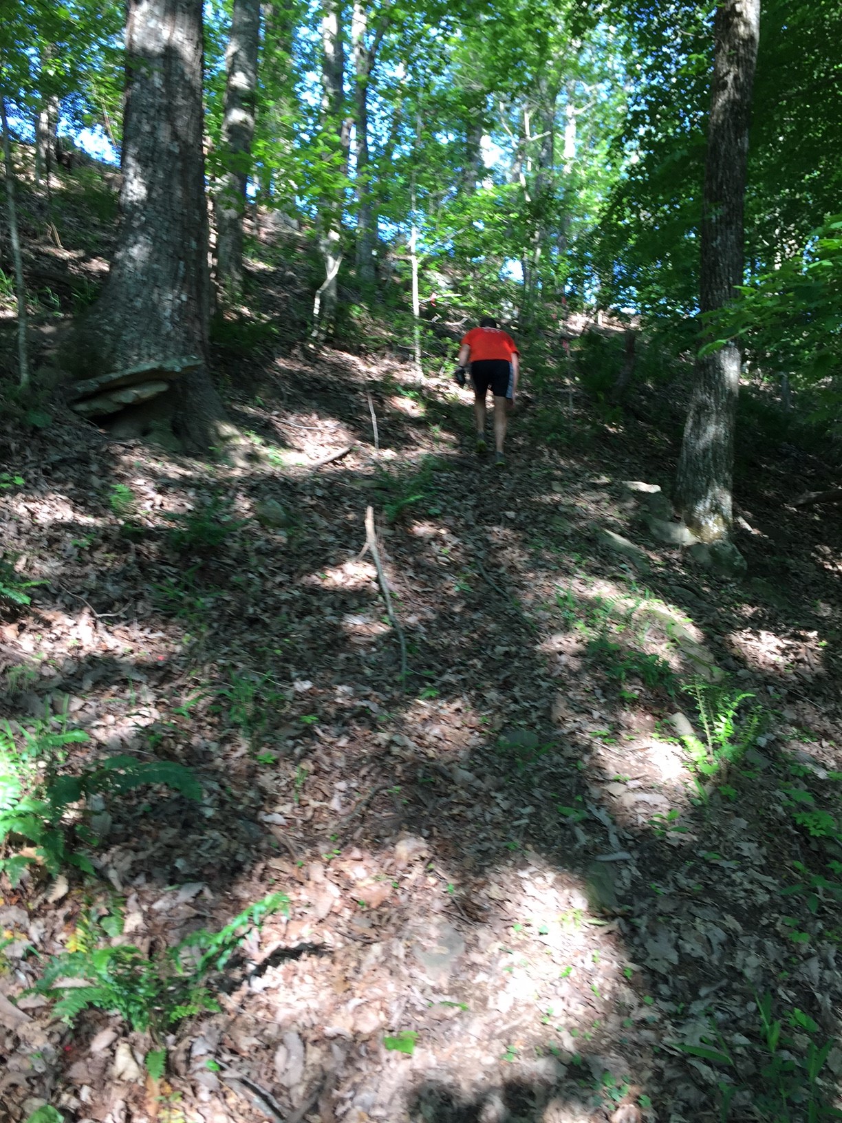
In spite of all of the evidence telling me otherwise I just felt that the glove didn't fit. For my "Better Know" a Monte Sano Trail series I have run every single trail in and around the mountain no mater how insignificant or remote. It was only for the sake of that research that I took the time one Sunday morning to run the trails around Burritt. Starting off on Big Cove Turnpike trail I headed west where just before the Discovery Trail I saw an old wooden sign that said Space Walk Trail and its location matched what was on the brochure.
Form there I took the Discovery Trail north and when I reached the the Rock Bluff Trail I turned east where only a bit further down the trail I saw another old wooden sign with an orange and white wooden space shuttle on it. While the location of this shuttle does not match the route from the brochure it doesn't match the Mountain Mist 50K course either.
I continued along Rock Bluff to the hikers parking lot in Burritt on Burritt drive, not to be confused with the Land Trust parking lot on Monte Sano Blvd near Burritt, and continued down Discovery toward Monte Sano Blvd where I spotted another vinyl space shuttle.
When the Discovery trail reaches Monte Sano Blvd and you look across the road you can see the same trail marker that I first found when I started my research. Now with three separate space shuttles that are not on the Mountain Mist race course its safe to say that they indeed where trail markers for some version on the Spacewalk trail just not necessarily the same version as the one from the brochure. In my research of the old Mountain Mist 50K course maps I found a text description of the course from 2009 and based its contexts it implies that the Natural Well Trail was once known as the Space walk trail.
The following week after my trail run around Burritt I reached out to the CEO of Burritt on the Mountain Leslie Ecklund who directed me to Pat Robertson their Director of Operations for over 30 years. I asked Robertson via email what he knew about Space Walk and replied "The old Space Walk trail was also known as the Scout trail. When the private development went in on Huntsville Mtn off Governors Dr. that closed off a major part of the trail." Robertson Continued "If I remember correctly there was an attempt to shorten/redirect the trail and that was when the Space Shuttle markers showed up." Its more likely than not that the shuttles you see all over Monte Sano mark the second iteration of the Space Walk, or Space Walk 2.0. I do not know if the first iteration had any trail markers but I would like to image they were shaped like Saturn V rockets.
Space Walk 1.0
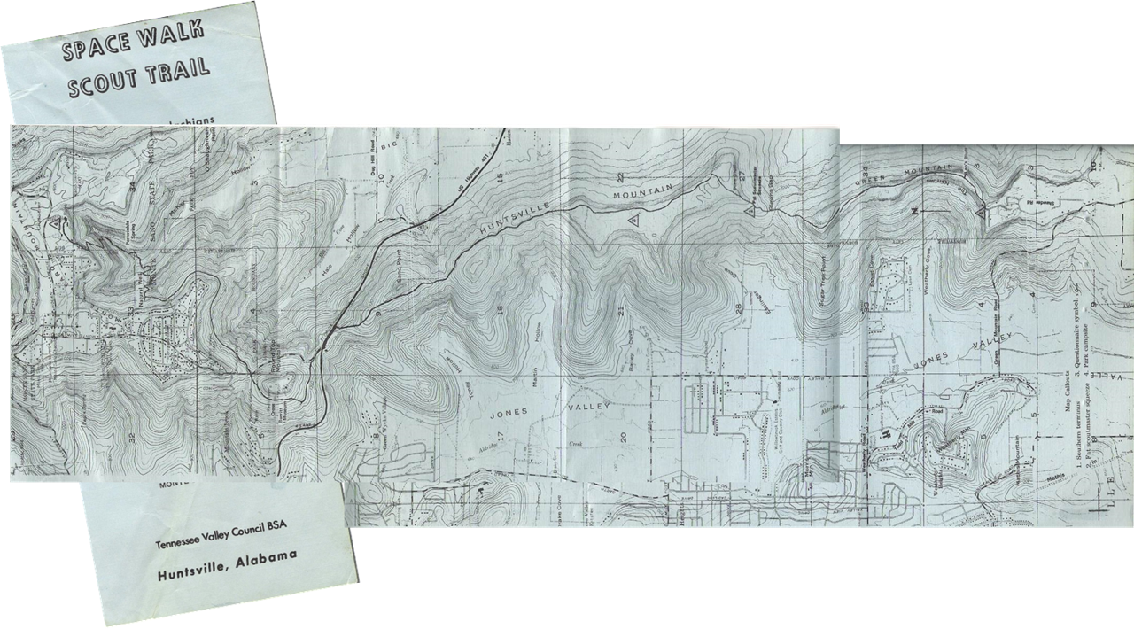
I can't thank Bostick enough for providing me with the old Boy Scout pamphlet. Without it this article would be even more speculative than it already is. According to it the original trail started at the top of Green mountain with a section of trail that was named Scout Trail. Its my understanding that one of the main reasons this trail was built was for Boy Scouts to train for the Appalachian and according to Marty Eaton they use to start out using TVA easements from the Tennessee river to Green Mountain Log Trail which was not an official part of the trail but important to the overall picture. You can still use some of the TVA Easement today as well as Green Mountain Log Trail though the later is quite over grow in places. Click here for the Briatech Map and here for a map of Green Mountain Log trail.
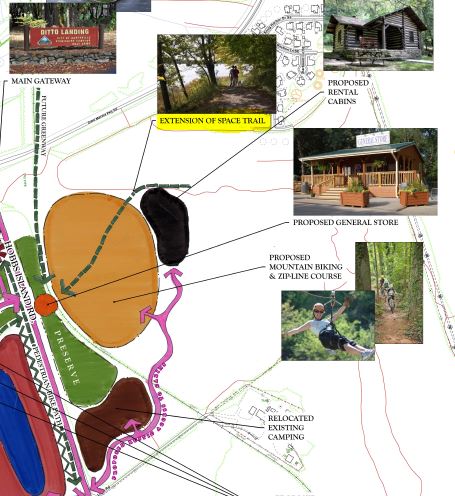
You may be wondering why I would bring up sections of the trail that aren't even a part of the official trail. In the spring of 2015 the Huntsville Big Picture imitative revealed their master plan for Ditto Landing. It laid out a 10 year plan to be implemented in three phases. The third and final phase calls for the addition of a zip line course built on land owned by the city just north of Hobbs Island Road. What you can see from the plans as well is an extension of Space Walk. While what I am writing about was the a trail from the past it is good to know about the trail for the future that I will be calling Space Walk 3.0. Note: My map of the entire Space Walk includes this new future trail not the TVA easement.
Continuing on with the unofficial trail, when the Green Mountain Log Trail ends at the top of Green Mountain you would make your way toward trail head for the trail formally known as Scout, now called the Bill and Marion Ceratin Trail. I not aware of any official or unofficial trail connecting the points. But that is a moo point, you know a cow's opinion, because unfortunately the path to the old Scout Trail trailhead is now blocked by a gigantic gate that I can only assume leads to the home of bond villain.
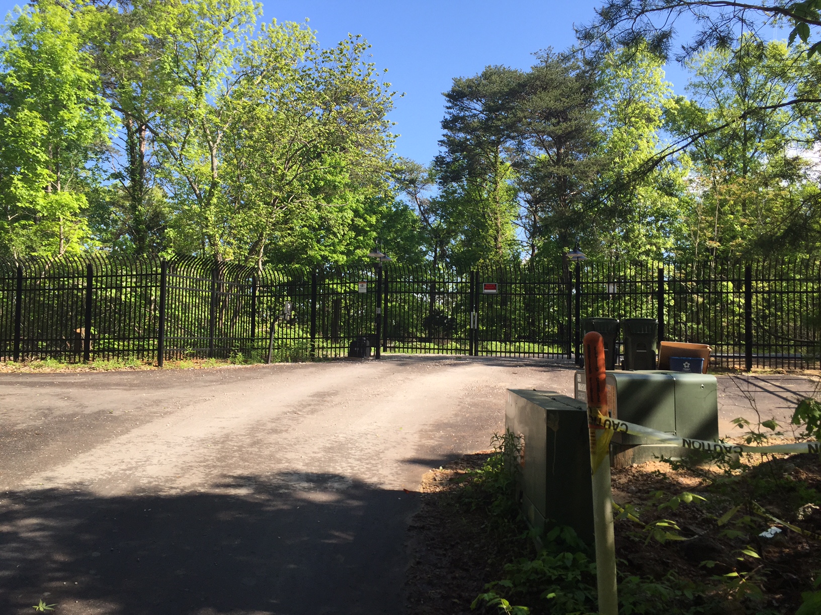
To reach the original trailhead now you must take Sugar Tree Trail to Varnedoe trail which includes a very steep incline to a communications tower. Here you can see the back gate to the bond villain's compound. (I am pretty sure the land owner is not actually associated with an international crime syndicate but the burden of proof is ultimately on him or her)
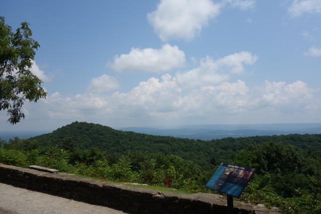
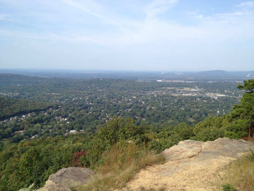
For more information about it Certain Trail you can read this Huntsville Outdoors article. That start of the trail a double track service road that runs to a power line cut, which offers a fantastic view of South Huntsville to the West and Hampton Cove to the East. After the power lines the trail turns to single track and is easy and flat until the plateau ends and descends to a gravel Land Trust parking lot that can be accessed from Cecil Ashburn Drive. The Cecil Ashburn mountain overpass was constructed in the late 90's which effectively severed the Green Mountain section of Space Walk, Bill and Marion Certain Trail, from the Huntsville Mountain section, Fanning Trail. To continue on you must cross This very busy road. The start of Fanning, part of which use to be named Scout Trail as well, is directly across from the entrance of the gravel lot and is a bit tricky to navigate up. Some maps say this section is named Fanning Trail while on others it is named Scout trail. For our purposed I will refer to is as Fanning because that is how it is marked on the trail. Click here for the Briatech map.
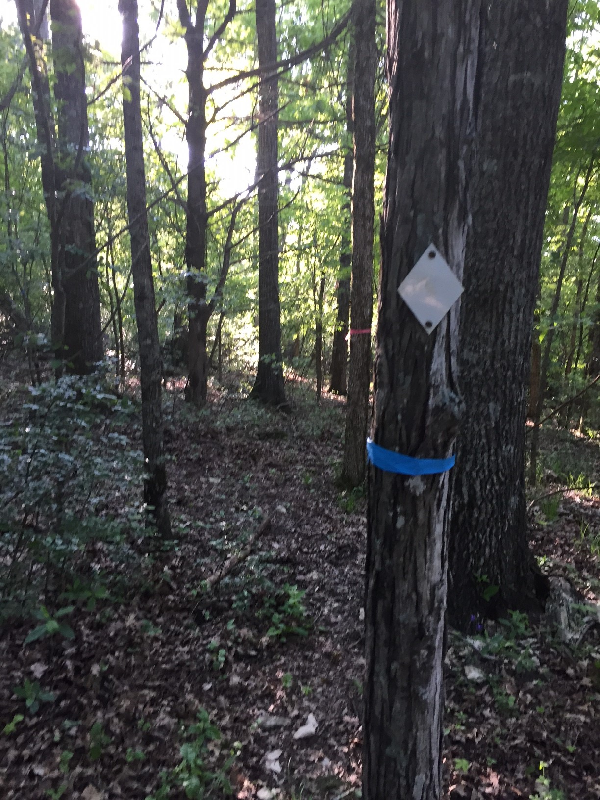
Once on Fanning the start of Scout trail is less than a 1/4 of mile in and its start is not easy to find. Keep your eyes peeled for a blank white trial marker and some blue flagging. I have seen similar flagging on the Land Trust trails on Rainbow Mountain so its my assumption, since this is property is owned by the Land Trust, that they or some bushwhackers, put them there. If you follow the flagging it continues with orange, blue, and pink all the way to a fairway on the Ledges golf course. If you look at the Land Trust's of the Blevins's Gap Nature Preserve there is a skinny section of land that they have stewardship over that follow where Space Walk 3.0 could go. Update: According the Land Trust Facebook Page 24 acres of land have been donated North of Cecil Ashburn where the old Scout Trail once ran.
The Flagging splits and but one set closely matches the trail indicated on the old brochure which ends with a very aggressive switch back up to the Ledges. If you wanted to follow along where Space Walk Trail went you’d be hiking directly through their very fancy golf course that now sits on top of Huntsville Mountain. Space Walk 3.0 would have to utilize that sliver of land to navigate around to the North side of the mountain and connect up with Ashbury Road.
Ashbury Road is an old gravel service road used by various utility companies just like the one that is on the top of Green Mountain at the start trail. It starts at north end of the Ledges and runs to a gated development off of Governors blvd. and Space Walk 3.0 would need to extend further around the mountain Huntsville Mountain and meet up with Ashbury Road. From there you’d continue back on Ashbury to Governors drive which you follow along side till you reach Monte Sano blvd.
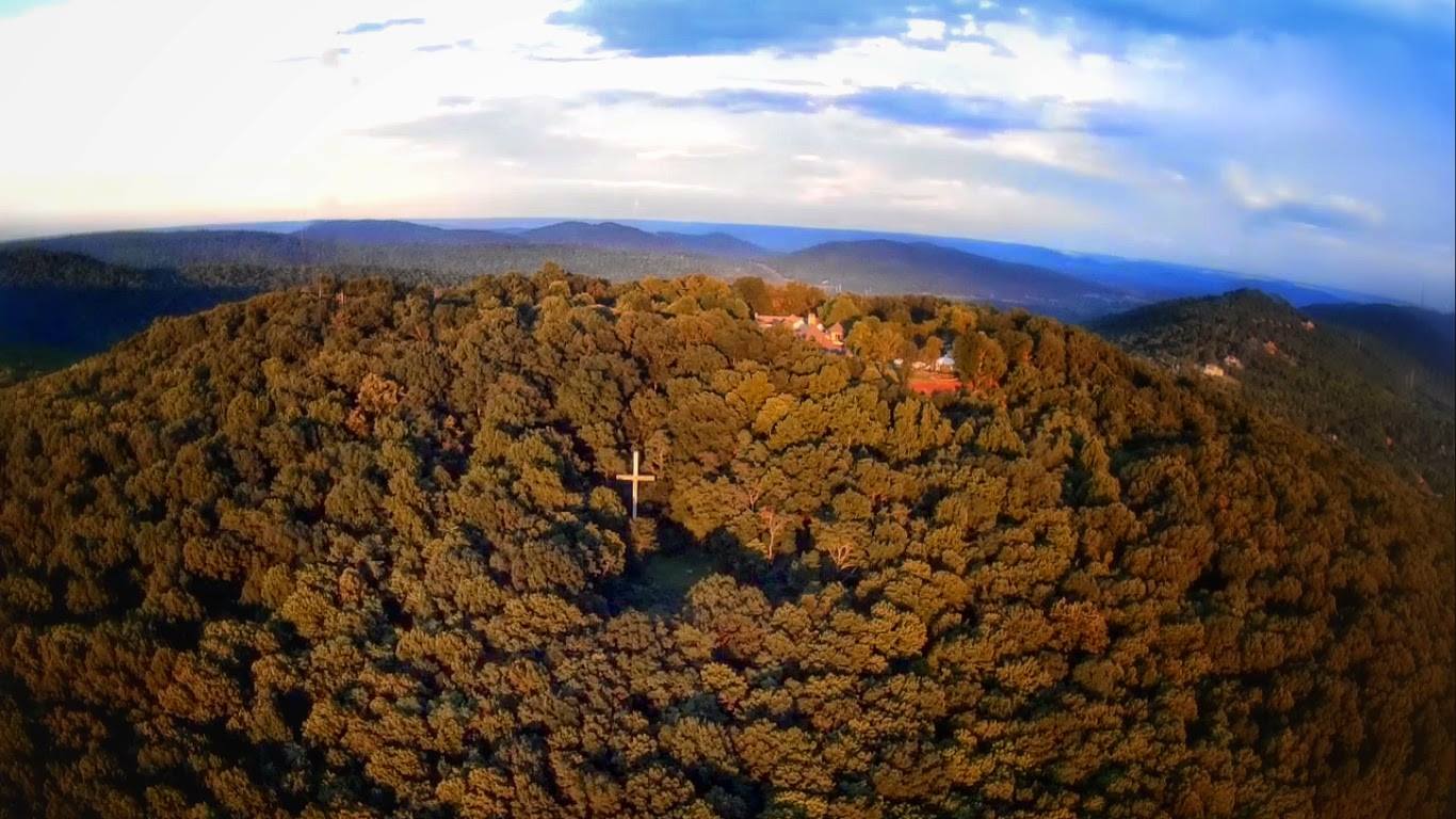
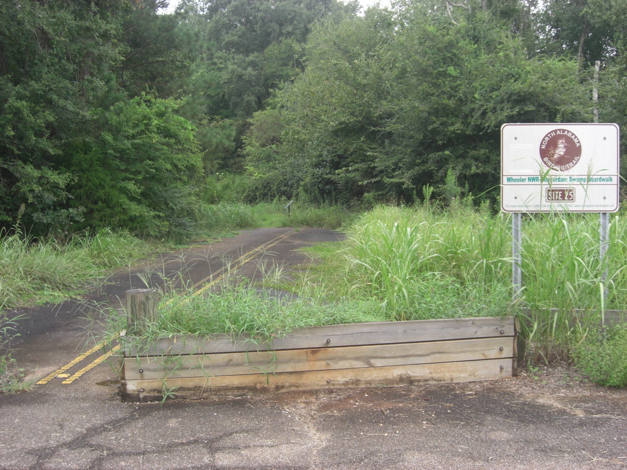
Once on Monte Sano Blvd you’d head toward Burritt via the Big Cove Turnpike, which easily accessed from the road and well marked by a large wooden sign. This section is a wide double track swath that takes you to the Discovery trail which you take North to the Rock Bluff Tail. Once there you take a left onto Rock Bluff going clockwise around Round Top Passing the Big Cross along the way before reaching the North side of the mountain. Based on some old trail maps Through Springs trail at one time connected with the Rock Bluff trail here then crossed Monte Sano Blvd. That section of trail no longer exists. Space Walk 2.0 would need to continue its clockwise journey to the Discovery trail which dead ends into Through Springs Trail on the other side of Monte Sano blvd. From there you would take Through Springs Trail north and connect up to Natural Well Trail.
Natural Well Trail is just over for 2-1/2 mile long is a one of the more challenging yet rewarding trails on the mountain. When the trail nears Big Cove Creek there is now a very nasty wash out which means Space Walk 3.0 would need to take Arrowhead Trail from Through Springs for just over a mile till it meets back up to with Natural Well. The new route would avoid the wash out, take you through some nice stone cuts, and you'd still get to see The Natural Well.
The final piece of Space Walk starts where Natural Well dead ends into the McKay Hollow trail which you'd take north and ascend to the North Plateau Loop on a section of trail known as Death Trail. Upon completing vicious climb you'd then head east to the Monte Sano Lodge where you collect your patch.
Space Walk 2.0
As discussed earlier, after the developments on Huntsville Mountain rendered the original Space Walk trail obsolete there was an attempt to reroute the trail. This is when the space shuttles were placed. What follows is my best attempt to recreate the route.
I do not want to repeat myself too much since I talked about this section earlier so here are the basics. From the Big Cove Turn Pike the trail starts on Discovery trail north toward Rock Bluff trail. At the Rock Bluff trail you take a right and head west following Rock Bluff to the another section of Discovery which takes you across Monte Sano Blvd. where it dead ends into Through Springs. Here you take a left and head north and at the intersection with Natural Well off about 10 feet into the woods there is another shuttle pointing west. Unless you are coming from Trough Springs you will probably won't even see it. I happened to spot it on a large group trail run where an aid station had been set up at that particular sport.


Heading the direction the shuttle told you to go on Natural Well I have been able to find four more shuttles leading all the way up to McKay Hollow.


When Natural Well dead ends into Mckay Hollow you have two choices; head up Death Trail or head toward rest shelter. Space Walk 1.0 final ascent was up death mile but Space Walk 2.0 deviates and heads the opposite direction. Between here and and where Mckay Hollow Trail ends at the South Plateau Loop I discovered four more shuttles one of which was nothing more then some remnants of vinyl and two nails.


As you emerge from Mckay Hollow on to South Plateau straight in front of you and pointing to the right is another Shuttle. Just like the one at the intersection of Through Springs and Natural well this one is only visible when coming from McKay. This is where things start to get less clear and shuttles start to show up that are on different sides of the trees making the route more confusing. Only a short distance from the last shuttle there is remnants of old shuttle which would indicate that the trail goes the opposite direction. The only explanation for this I can think of is that once the Space Walk 2.0 reached the plateau went from unidirectional to bidirectional. The next marker is located at the southernmost point of the South Plateau Loop where the marker over time has been folded in half by the tree. This makes it hard to for sure know but seems to point you to continue on the trail and head back toward the Hikers Parking Lot.


From the Hikers parking lot you take the North Plateau Loop toward the shuttles I first found, both of which point in opposite directions. You continue on that trail till you reach reach Cold Spring Trail which you descend down passing a shuttle that you won't see because is on the opposite side of the tree.


When Cold Spring intersects with Mountain Mist you take it back toward the State park where you will find one more shuttle before reaching the Sinks Trail where you take a left and follow until you reach the Logan Point trail where you will find another shuttle which has been bent in half. From here you continue north until you reach the Panther Knob Trail which takes you to the summit of Logan Point and back down where another shuttle points to the left on to the Stone Cuts trail.


Stone Cuts has one more shuttle near the Stone Cuts Bypass. After emerging from Cuts you connect back with the Sinks Trail where you head west passing a shuttle before reaching a tree at an intersection with Mountain Mist Trail that has not one but two folded space shuttles. Here you take left and head south on Mountain Mist passing two more shuttles before reaching the South Plateau and the end of Space walk 2.0.
Stone Cuts Shuttles


Sinks Shuttles


Mountain Mist Shuttles


In total I have found almost 30 different Space Shuttle trail markers on various different trails around Monte Sano. If you have done much trail running you know that you needs to pay attention to the path before you or you fingers will may end up looking like the picture below. The only way to you would be able to catalog each one is to slowly hike every trail both directions and even then you may miss a few.
With everything I have put together here is my Space Walk 2.0 trail map based on the Shuttles I have found to date along with the approximate location of each shuttle.
I would like to think that the current group of Huntsville and Land Trust leaders understand the importance of assets like Space Walk. Had they been in charge when developers proposed building Golf Courses and Mansions on top of a community asset they would have found a way for them to coexist. This old version of Space Walk will never be again but that doesn't mean its spirit is dead. Agreements will need to be signed, new trails must be blazed, and old trails cleared but where there is a will there is a way.
Luke Brisk
Luke has been writing for Huntsville Outdoors and screwing up its source code since 2013. He is an Eagle Scout hailing from the Central Minnesota Council’s Troop 88. A majority of his time outdoors is spent either on a greenway or a trail.