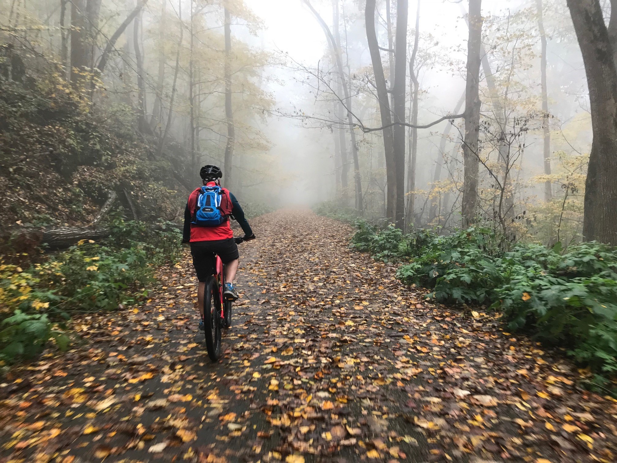
Wade Mountain is a hidden trail running gem located in North Huntsville 11 different trails spanning 10 Miles (11 if you count the greenway).
This is our second feature article on Wade Mountain, so before you read any further I suggest you take a minute and read this Wade Mountain aritcle.
Welcome back! Now that you have read that great article please lower expectations going forward as I take a deep dive into the running the trails of Wade Mountain!
Getting There
You can access the trails from Spraggins Hollow Road or Pulaski Pike. While offering access to the same mountain trails they couldn't be more different.
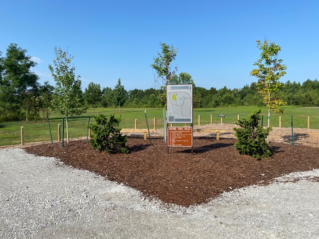
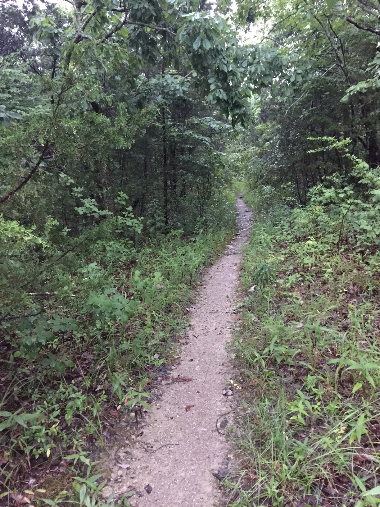
Spraggins Hollow Road is narrow with no shoulders and takes and feels like the kind of counrty road you would take to go trail running. This Land Trust parking lot is rustic featureing an appropriately weathered wooden fence, course gravel, and trail map shelter with just the right amount of moss growing on top of it.
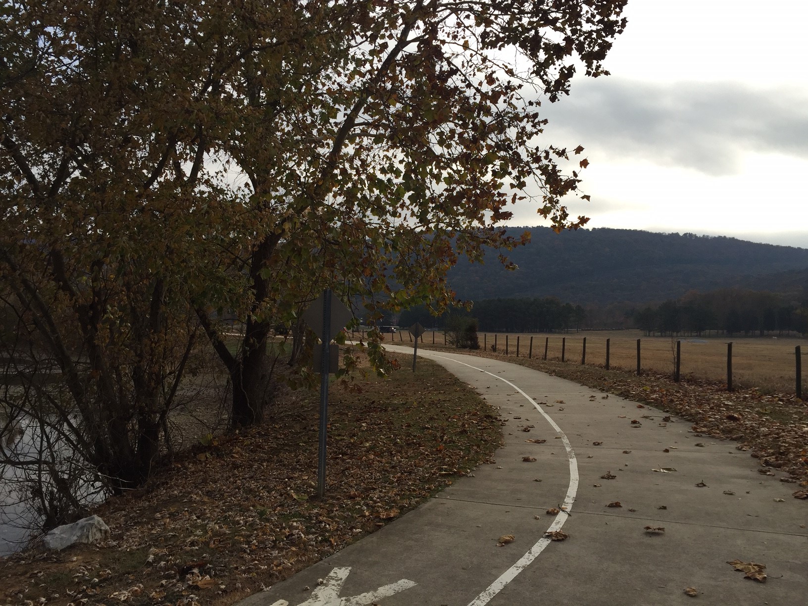
Pulaski Pike is major four lane road that starts in downtown Huntsville and leads to the local Toyta Engine Plant. It is wide and industrious road wtih curb and gutter where the Huntsvile Citys Parks and Rection lot is located for the Wade Mountain Greenway (which you can read more about in on our Huntsville and Madison Greenways page). From here you must take the mile long greenway prior to reaching the trails. I like to think of it as a manditory warmup and or cool down run.
Neither one is more optimal than the other it just depends on which trails you want to run or which side of town you live on.
The Trails
Devils Racetrack (1.6 Miles)
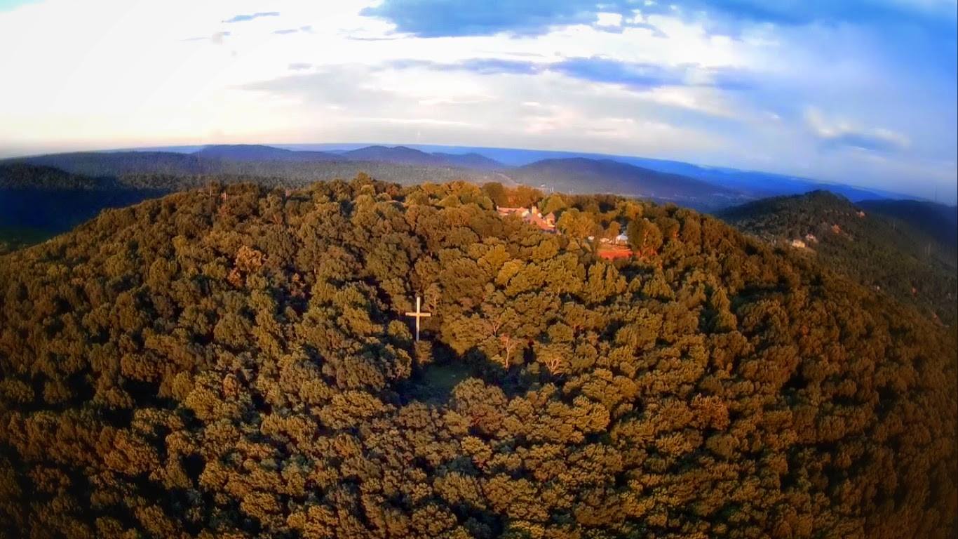
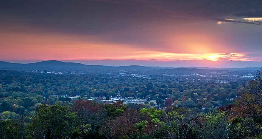
The Devils Racetrack Trail is main attraction on Wade Mountain. The trail runs 1.6 miles from the Land Trust Parking lot on Spragins Hollow Road finishing with a loop around a large group of limestone boulders known as the Devils Racetrack. This natural open areas offers a great view of the hills north of Huntsville. From start to finish the trail ascend only 200 feet with the most aggressive climb between 0.6 and 1.10 which is where the Devils Racetrack starts. This 1/2 mile loop is a spacious naturally open area where and at the far north end comes to a power line cut which features the best vew in the nature preserve.


Piney Loop Trail (.5 Miles)
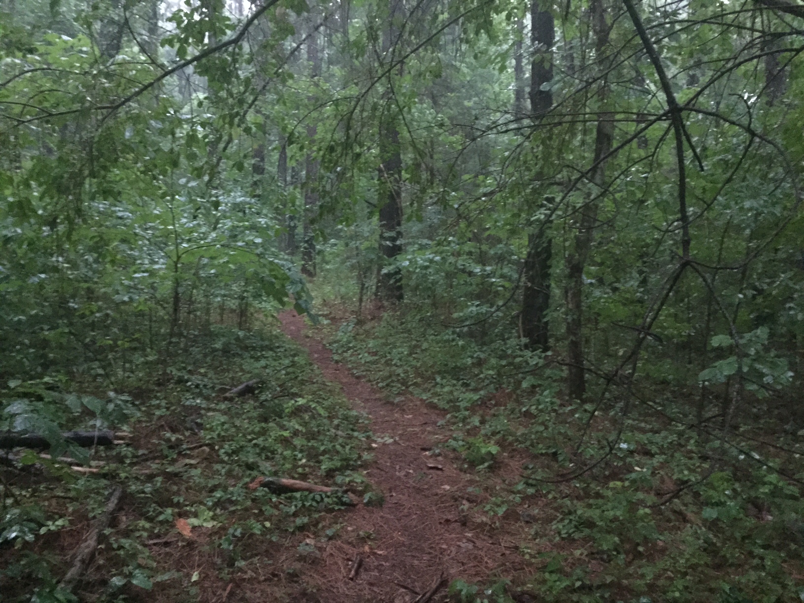
Piney Loop Trail shares an origin point with the Devil's Race Track trail at the Spragins Hollow parking lot and runs through a small stand of pine trees. A majority of the forests around Huntsville feature mostly deciduous which makes this patch of coniferous trees a real treat to run through. I like how the pine straw blankets early sections of the trail since it reminds me of the pine forests where I grew up. At just over a 1/2 it is a very short trail that, as the name would suggest, loops from its trail head back out to the Devils Race Track. There is not much climbing and the only difficult part of it are the occasional root or rock.
Shovleton Trail (0.6 Miles)
You can stop your specutlation right now, Shovelton is not named after a Thomas and Friends charector. Where the trail gets its name is at this time unknown to me. What I do know is that that Shovelton is a short trail that starts off the Devils race track trail and runs to a menage trios intersection with the Harris and Rock Wall trails. It is an easy singletrack trail that gets rockier as it gets closer to the Harris/Rock Wall intersection with a short 35 foot descent.
Rock Wall Trail (0.7 Miles)
Rock Wall Trail starts off the Devil's Race track track trail and ends at an intersection with the Harris and Shovelton Trails. It is a rocky single track trail that ascends over 100 feet from its lowest point to its highest. Along the way just off the trail you can find Smithers Spring and a Rock Wall for which the trail is named after.
The end of the trail butts right up to the start of the Harris Trail that if not for a trail sign you wouldn't be able to distinguish between the two. I don't understand the logic of creating an artificial differentiation between the two trails. This isn't an isolated incident, the Logan Point and Keith Trails on Monte Sano are another example of two trails that really could be a single trail.